Topographic Regions
The broad, mostly level valleys of the Niger and Benue rivers form Nigeria's
largest physical region. The Niger enters the country from the northwest, the
Benue from the northeast; they join at the city of Lokoja in the south central
region and continue south, where they empty into the Atlantic at the Niger Delta.
Together, they form the shape of a Y. Population densities and agricultural
development are generally lower in the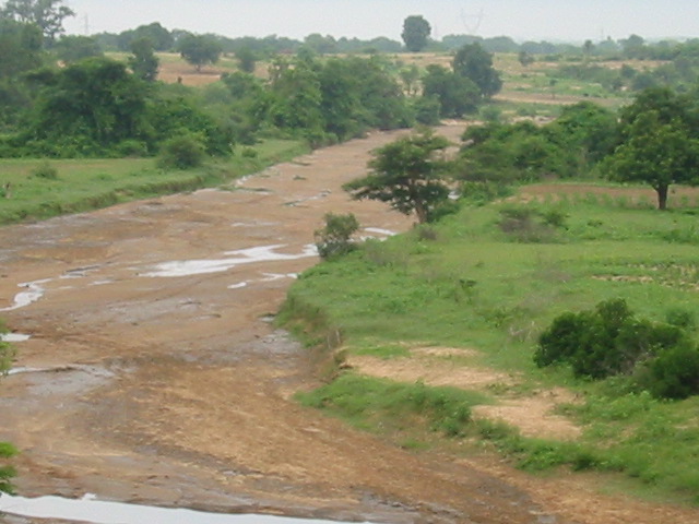 Niger and Benue valleys than in other areas. North of the Niger Valley are the
high plains of Hausaland, an area of relatively level topography averaging about
800 m (about 2,500 ft) above sea level, with isolated granite outcroppings.
The Jos Plateau, located close to Nigeria's geographic center, rises steeply
above the surrounding plains to an average elevation of about 1,300 m (about
4,200 ft). To the northeast, the plains of Hausaland grade into the basin of
Lake Chad; the area is characterized by somewhat lower elevations, level terrain,
and sandy soils. To the northwest, the high plains descend into the Sokoto lowland.
Niger and Benue valleys than in other areas. North of the Niger Valley are the
high plains of Hausaland, an area of relatively level topography averaging about
800 m (about 2,500 ft) above sea level, with isolated granite outcroppings.
The Jos Plateau, located close to Nigeria's geographic center, rises steeply
above the surrounding plains to an average elevation of about 1,300 m (about
4,200 ft). To the northeast, the plains of Hausaland grade into the basin of
Lake Chad; the area is characterized by somewhat lower elevations, level terrain,
and sandy soils. To the northwest, the high plains descend into the Sokoto lowland.
Southwest of the Niger Valley (on the left side of the Y) lies the comparatively
rugged terrain of the Yoruba highlands. Between the highlands and the ocean
runs a coastal plain averaging 80 km (50 mi) in width from the border of Benin
to the Niger Delta. The delta, which lies at the base of the Y and separates
the southwestern coast from the southeastern coast, is 36,000 sq km (14,000
sq mi) of low-lying, swampy terrain and multiple channels through which the
waters of the great river empty into the ocean. Several of the delta's channels
and some of the inshore lagoons can be navigated.
Southeastern coastal Nigeria (to the right of the Y) consists of low sedimentary
plains that are essentially an extension of the southwestern coastal plains.
In all, the Atlantic coastline extends for 850 km (530 mi). It is marked by
a series of sandbars, backed by lagoons of brackish water that support the growth
of mangroves. Large parts of Africa's Bight of Benin and Bight of Biafra fall
along the coast. Because of the Guinea Current, which transports and deposits
large amounts of sand, the coastline is quite straight and has few good natural
harbors. The harbors that do exist must be constantly dredged to remove deposited
sand.
Inland from the southeastern coast are progressively higher regions. In some
areas, such as the Udi Hills northwest of Enugu, escarpments have been formed
by dipping rock strata. Farther east, along Nigeria's border with Cameroon,
lie the eastern highlands, made of several distinct ranges and plateaus, including
the Mandara Mountains, the Shebeshi Mountains, the Alantika Mountains, and the
Mambila Mountains. In the Shebeshi is Dimlang (Vogel Peak), which at 2,042 m
(6,699 ft) is Nigeria's highest point.
"Nigeria." Microsoft® Encarta®
Encyclopedia 2001. © 1993-2000 Microsoft Corporation. All rights reserved.